Shearwater, Pruth Bay, and Sullivan Bay, BC
While in Shearwater on Wednesday afternoon we got a few groceries at the market there, and hung out at the Fisherman's Bar & Grill and worked for a few hours. Shearwater is great, but the internet there kinda sucks. The free internet didn't work at all, so we splurged on the "Premium" internet (13 bucks) which only barely worked (but none of it worked from the dock). Oh well.
We were hanging out after dinner with a glass of wine and our books when we got a knock on the door. It was Ray and Denise, who've also been exploring Alaska by boat all summer. They follow the blog and we've kept up via email, but until Shearwater BC we'd never been in the same place at the same time (save one night in Juneau when we were on the hard and they were leaving early the next morning). It was great to finally meet in person! We were both heading south and decided we'd both head to Pruth Bay together in the morning if the weather forecast for crossing Cape Caution and the open waters of Queen Charlotte Sound continued to look good.
The weather for crossing on Friday looked good, so we headed to Pruth Bay on Thursday. Thursday was warm and gorgeous at Shearwater as we headed out.
Passing Bella Bella:
The cruise to Pruth Bay down Fitz Hugh Sound looked mostly like this:
Until we turned into Kwakshua Channel, where we eventually were running in some pretty dense fog. Ray and Denise were already anchored in Pruth Bay when we arrived. We saw them on radar long before we saw the actual boat:
We anchored a little further into the head of the bay and then got in the dinghy to go to shore and explore a bit.
The dock for the Hakai Beach Institute:
The Hakai Institute is a research center specializing in long term ecological research. It has active research programs in archaeology, earth sciences, terrestrial ecology, and marine ecology.
They have internet that they let visitors use (and it gets all the way out to the boat!) There's a 100MB cap per device, but we just needed to check weather in the morning so it was plenty!
We decided to hike over to West Beach. The trails are a nicely kept up combination of boardwalk and gravel/dirt:
We've been told that West Beach is one of the most beautiful beaches on the coast here, with white sand beaches and gorgeous ocean views. Unfortunately, it was still totally socked in with fog, but it was still very pretty. I'd like to come back when it's sunny though!
These rocks look a little too Disney, don't you think? All those straight lines look kinda fakey.
A pixely log:
Sand and fog:
Back at the dinghy dock I managed to get a couple of cool jellyfish photos:
Hey, we've got a new neighbor:
We got back to the boat and were in the middle of cooking dinner and just like that, the fog went away.
We invited Denise and Ray over for a glass of wine after dinner…we had fun catching up and telling Alaska stories.
Here's our route from Shearwater to Pruth Bay (44.1 nautical miles):
We set the alarm for 3:55am the next morning (Friday) so we could get up and check the 4am forecast for Queen Charlotte and Cape Caution. All looked good so we pulled our anchor and headed slowly out in the dark and the fog. It was a little eerie…we've never been in these conditions before in our boat. The other times we left at 4am it was earlier in the summer and not actually dark. Here, it was dark. We just went slow, watched the radar, and Kevin did bow watch until it brightened up enough to see any logs from inside the pilot house. It helped that our first stretch was this long 4.5 mile channel, too, but it was still trippy.
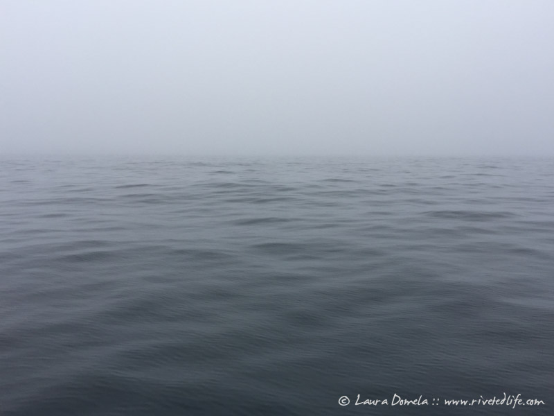
I made us some breakfast eventually and then went down to take a nap. I came back up and swapped with Kevin so he could go get a little nap as well. Most of our day today looked like this:
Here's us, crossing Cape Caution (quite a bit more chill than on our way up…6ft waves 4 seconds apart):
We had one short stretch with some gentle 3ft swells and a little bit of chop on top of that (about a foot) but it was calm and foggy for the majority of the day. As we rounded Cape Caution and turned into Queen Charlotte Strait, not much changed either. Due to the pleasant conditions (and the gale warning on deck for tomorrow) we opted to go all the way to Sullivan Bay today, to get in out of the Strait. Today's cruise was 84 miles of pretty boring scenery, but I'll take it!
On our way into Sullivan Bay we stopped to watch a single humpback lunge feeding.
Sullivan Bay is really cute. It's a nice marina with a general store and a restaurant and fuel and stuff, surrounded by a little floating home community.
They are pretty much closed for the summer now though, so we'll head out tomorrow sometime. I tried to see if there was an opening for dinner at Nimmo Bay, but they're booked until September 17th. (Check out their gig…it looks amazing!)
So tomorrow we may head over to Pierre's at Echo Bay…then maybe Kwatsi Bay, then back by Port Harvey…not sure yet. We'll see how the weather looks.
Here's our route from Pruth Bay to Sullivan Bay, crossing Cape Caution (84.5 nautical miles!):


